 Facebook
 X
X
 Pinterest
 Copy Link
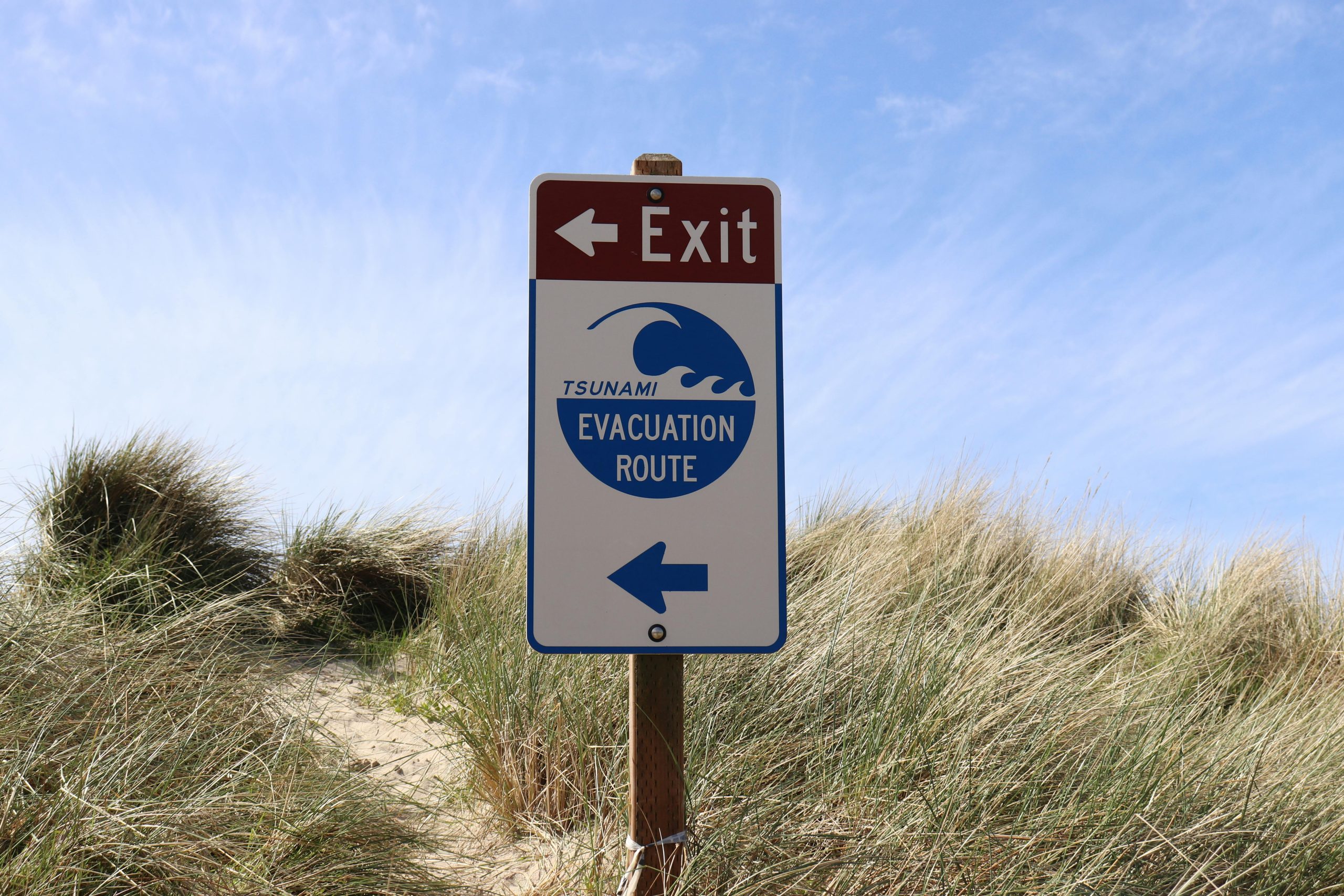
If you have spent any time on Whidbey Island, it is likely that you have noticed the tsunami evacuation signs posted along roads and beaches. These signs may raise questions for newcomers or visitors. Why does an island surrounded by serene waters have tsunami warnings? The answer lies in the region’s unique geography and seismic activity.
The Risk of Tsunamis on Whidbey Island
Whidbey Island is located in part of the geologically active area known as the Cascadia Subduction Zone. Roughly 600-miles of fault line runs from Northern California to British Columbia, where the Juan de Fuca tectonic plate meets the North American tectonic plate. When these plates shift or collide, they can trigger large earthquakes — and in some cases, tsunamis.
Tsunamis are massive ocean waves typically caused by undersea earthquakes or volcanic activity. While Whidbey Island is somewhat sheltered by its location in Puget Sound, a major earthquake along the Cascadia fault or from another undersea event could generate a tsunami that impacts the island’s coastal areas.
Why Are There Evacuation Routes?
The tsunami evacuation signs posted throughout Whidbey Island are part of a broader safety plan to help residents and visitors reach higher ground quickly in the event of a tsunami warning. Coastal towns like Langley, Coupeville, and Oak Harbor have low-lying areas that could be vulnerable to flooding if a tsunami were to occur.
The signs are strategically placed to direct people away from beaches, marinas, and waterfront areas toward safer locations on higher ground. Being aware of these routes and having a plan in case of an emergency is an important part of living in a coastal region. Island County does a great job of providing tsunami information including a high ground map that you can visit by clicking here.
How Likely Is a Tsunami on Whidbey Island?
The likelihood of a large tsunami hitting Whidbey Island is low, but not impossible. Scientists and geologists monitor the Cascadia Subduction Zone closely, and while large earthquakes are rare, they have occurred in the past. The most notable event was the 1700 Cascadia Earthquake, which triggered a tsunami that impacted coastal communities from Washington to Japan. You can read more about what that looked like on January 15, 2022 by clicking here.
While Whidbey Island may not face the same tsunami threats as coastal communities on the open ocean, it is still vulnerable to localized tsunamis caused by underwater landslides, known as “submarine landslides.” These could result from large earthquakes or other geological shifts in Puget Sound.
What Should You Do in the Event of a Tsunami Warning?
In the rare event of a tsunami warning on Whidbey Island, the most important thing to do is move to higher ground immediately. Familiarize yourself with the evacuation routes marked by the tsunami signs, and always follow guidance from local authorities and emergency services.
Here are a few tips to stay safe:
· If you feel strong shaking from an earthquake, don’t wait for an official warning — head to higher ground immediately.
· Know your evacuation routes and have a family emergency plan in place.
· Stay informed by signing up for local emergency alerts and having a battery-powered radio on hand.
Preparedness Brings Peace of Mind
While the thought of a tsunami can be unsettling, it is most important to remember that Whidbey Island’s local authorities and emergency response teams are well-prepared. The presence of tsunami signs and evacuation routes are simply a proactive measure to ensure everyone’s safety.
By staying informed and knowing what to do in an emergency, you can enjoy everything Whidbey Island has to offer with peace of mind. After all, living on this beautiful island means being prepared — and being part of a community that looks out for one another. Connect with us.
